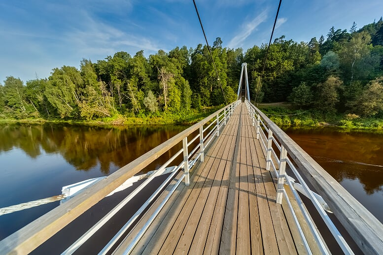
Maršrutā Sigulda-Krimulda-Sigulda ir iekļautas izcilākās Siguldas apkaimes skatu, ainavas un dabas vērošanas vietas. Taču, lai tās izjustu, būs jāiepazīst Gaujas senlejas reljefa stāvie kritumi un kāpumi. Neaizmirstiet paņemt līdzi fotokameru vai GoPro kameru! Maršruts ietilpst Gaujas Nacionālajā parkā.
Ieteicamais laiks maršruta veikšanai – aprīlis – oktobris. Īpaši ieteicams ievu ziedēšanas, krāsaino rudens lapu laikā un skaistās ziemas dienās, kad nav daudz sniega, kas netraucē iešanu pa takām. Piemērots ir arī agrs pavasaris, kad koku un krūmu lapotne neaizsedz skatus uz senleju.
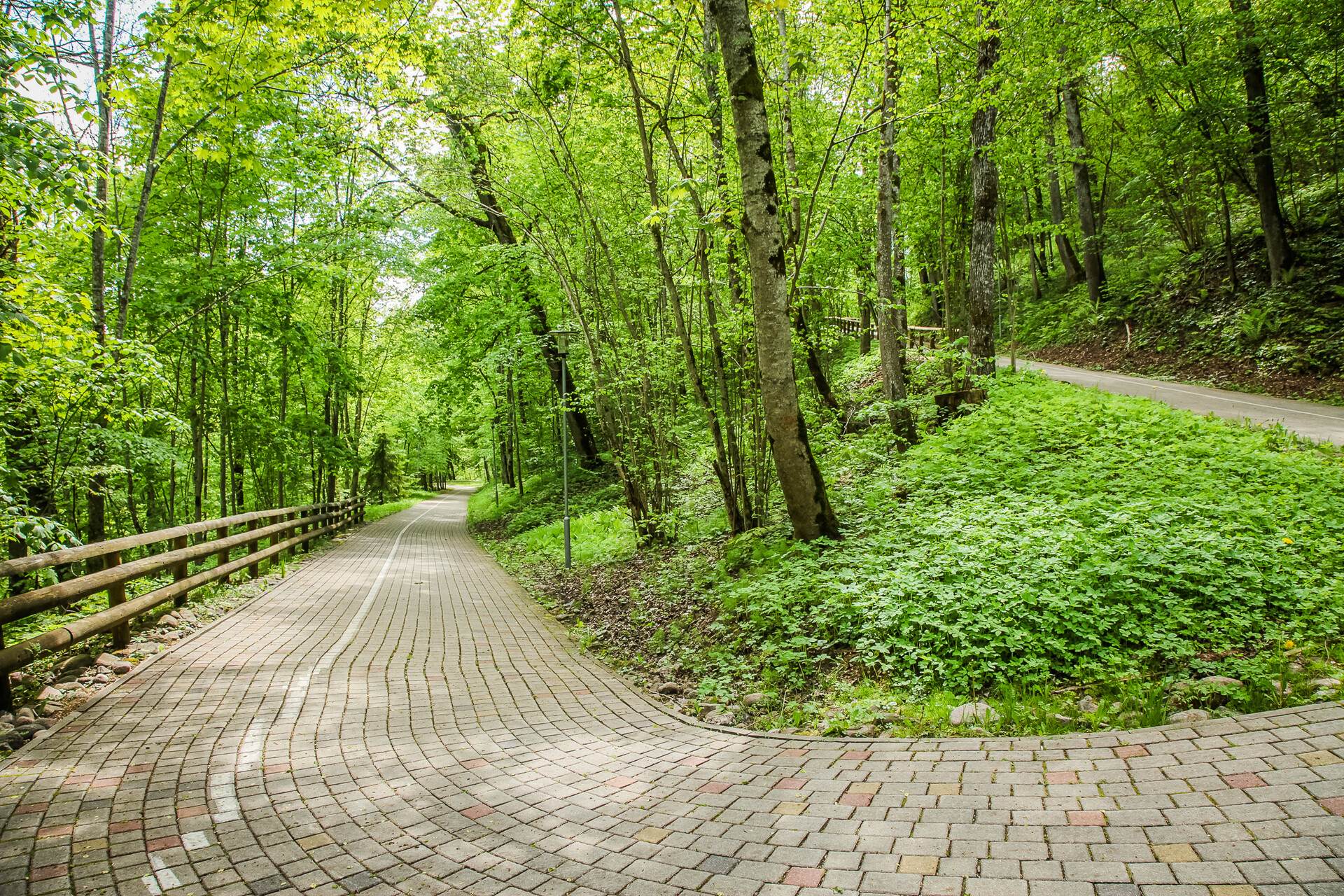
Der zināt! Aicinām jūs saudzēt un cienīt dabas un cilvēku radītās vērtības! Maršruta veikšanai nepieciešami piemēroti apvidus apavi, Siguldas un Krimuldas apvidus karte. Koka kāpnes vietām var būt bojātas, slapjā laikā slidenas. Respektējiet objektos izvietotās informācijas zīmes! Katrs pats ir atbildīgs par drošību maršruta veikšanas laikā. Iesakām! Šo maršrutu vai tā daļu var apvienot ar citiem Siguldas un tās apkaimes maršrutiem. Maršrutu no Kājnieku tilta pār Gauju var veikt arī pa Gaujas senlejas pamatkrasta apakšdaļu. Pie Pilsētas trases var izmantot pacēlāju, vai doties augšup pa kāpnēm.