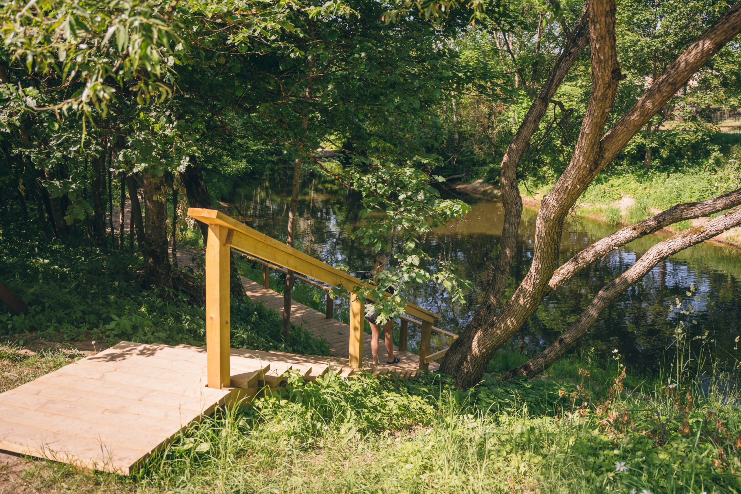
Informācijai. Tilts nodala taku divās līdzīgās daļās, ja skatās no tilta un priekšā skatam paliek kapi, labā takas daļa ir rekonstruēta un atjaunota.
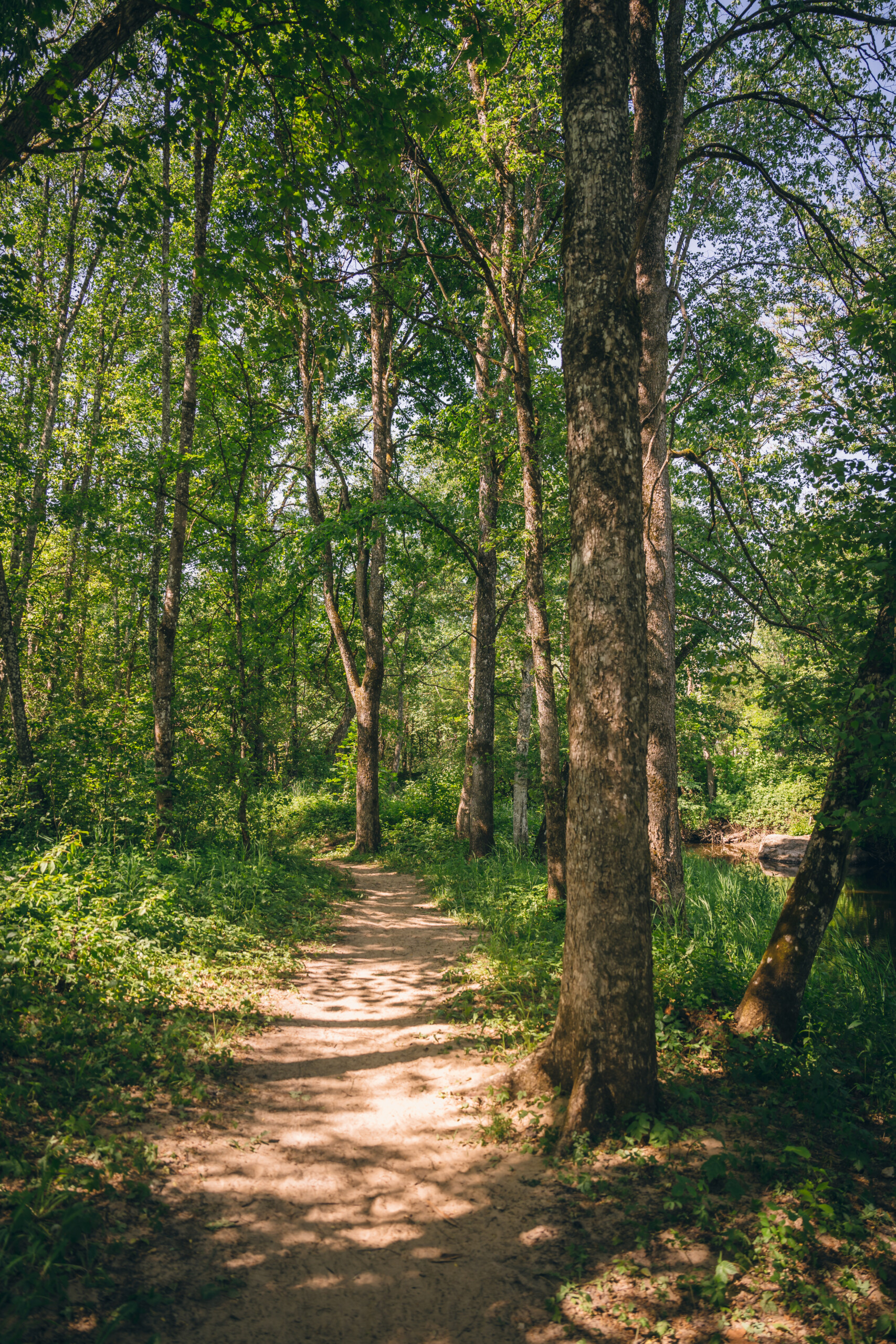
Gar Mergupes kreiso krastu Mālpilī pieejama pastaigu taka aptuveni 6,5 km (turp-atpakaļ). Taku iespējams sākt no jebkura sev vēlamā sākuma punkta – no atpūtas vietas pie Skulmes dižozola, no Saules vārtu kalna vai takas viduspunktā pie Mālpils kapsētas. Dodoties pa taku iespējams baudīt skatus pie upītes, vērot tās līkločus, kā arī iegūt jaunas zināšanas pie izvietotajiem informatīvajiem stendiem, kuri stāsta par teritorijā sastopamajiem kokiem, augiem, zivīm u.c. Dažviet upe ir ļoti mierīga, citviet sakritušie koki veido lielāku ūdens straumi. Maršrutā pieejami tādi apskates objekti kā – Oto Skulmes dižozols, Draudzības akmens, Mālpils viduslaiku pilskalns, Tēvijas kara brāļu un Mālpils kapi, Skulmju dzimtas vieta.
Ceļa segums: vairums meža takas, koka trepes, koka tiltiņi, vietām zemes ceļš.
Grūtības pakāpe: viegls. Atsevišķos posmos pieejamas stāvākas nogāzes, kāpnes.
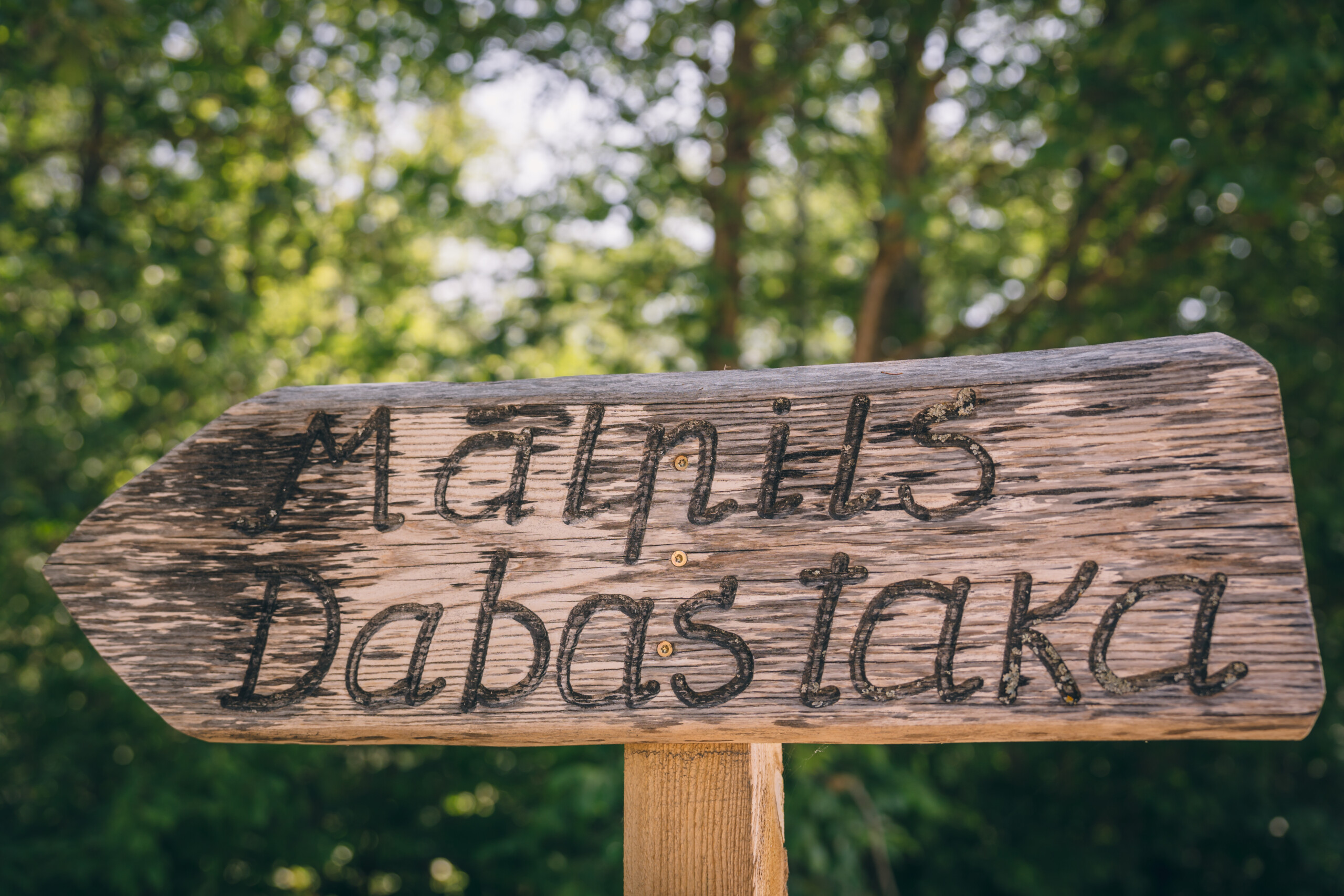
Marķējums: maršruts dabā nav marķēts, taču tam viegli izsekot līdzi, vadoties pēc koka norādēm ar uzrakstu “Mālpils dabas taka”, kā arī pēc informatīvajām norādēm ar izzinošiem aprakstiem. Visa ceļa garumā plūst upīte.
Der zināt: maršrutā pieejami atpūtas soliņi, galdi, piknika vietas. Dodoties dabā atceries – ko atnesi, to aiznes un neatstāj atkritumus dabas maršrutā. Lietus un mitrā laikā taku laipas un kāpnes var būt ļoti slidenas!
Nokļūšana uz dabas taku: ar auto vai ar sabiedrisko transportu (autobuss).
Papildus: pēc pastaigas iespējams aplūkot arī Mālpils muižu un tās parku, Mālpils Evanģēliski luterisko baznīcu uc.
Apskates objekti:
Oto Skulmes dižozols
Pretī Skulmju mājām blakus vietējās nozīmes kultūrvēsturiskajam piemineklim – Mācītājmuižai, atrodas Mālpils novadā lielākais dižozols, kura pakājē biedrība „Mālpils zivīm” izveidojusi atpūtas vietu ar galdiem, ugunskura vietu, tualeti. Ozolam vārds dots par godu gleznotājam un scenogrāfam Oto Skulmem, kurš dzīvoja netālajās “Skulmju” mājās. Koka apkārtmērs ap 6m.
Skulmju dzimtas vieta
No dabas takas paveras gleznains skats uz Mālpils pagasta Skulmju mājām, kurās izvietota tēlnieces Martas Skulmes un mākslinieka Oto Skulmes piemiņas istaba, vēlāk izveidota arī piemiņas istaba aktierim Valentīnam Skulmem. Skulmju māju apkārtne un netālu esošā Vilku grava aprakstīta Ivandes Kaijas romānā “Iedzimtais grēks”.
Mergupe
Mergupe ir Lielās Juglas kreisā satekupe Amatas, Siguldas, Mālpils un Ogres novados.
Mālpils viduslaiku pilskalns
Zviedru kara laikā (1600 – 1621) pils tika sagrauta, poļu armija atkāpjoties to uzspridzināja, un vēlāk tā vairs netika atjaunota. Neskatoties uz to, šeit atradās Mālpils muižas administratīvais centrs ar koka ēku apbūvi līdz pat 18.gadsimta vidum, kad muižu pārcēla uz tagadējo vietu. Šodien pilskalnā atrodas brīvdabas estrāde un tās pakājē jauka atpūtas vieta.